- Indexes >
- Index Concepts >
- Index Types >
- Geospatial Indexes and Queries >
2dsphereIndexes
2dsphere Indexes
On this page
New in version 2.4.
A 2dsphere index supports queries that calculate geometries on an
earth-like sphere. The index supports data stored as both
GeoJSON objects and as legacy coordinate pairs. The index
supports legacy coordinate pairs by converting the data to the GeoJSON
Point type.
The 2dsphere index supports all MongoDB geospatial queries: queries
for inclusion, intersection and proximity.
A compound 2dsphere index can reference
multiple location and non-location fields within a collection’s
documents. You can arrange the fields in any order.
The default datum for an earth-like sphere in MongoDB 2.4 is WGS84. Coordinate-axis order is longitude, latitude.
See the Geospatial Query Operators for the query operators that support geospatial queries.
Considerations
The geoNear command and the $geoNear pipeline
stage require that a collection have at most only one
2dsphere index and/or only one 2d index whereas
geospatial query operators (e.g.
$near and $geoWithin) permit collections to have
multiple geospatial indexes.
The geospatial index restriction for the geoNear command
and the $geoNear pipeline stage exists because neither the
geoNear command nor the $geoNear pipeline
stage syntax includes the location field. As such, index selection
among multiple 2d indexes or 2dsphere indexes is ambiguous.
No such restriction applies for geospatial query operators since these operators take a location field, eliminating the ambiguity.
You cannot use a 2dsphere index as a shard key when sharding a
collection. However, you can create and maintain a geospatial index on
a sharded collection by using a different field as the shard key.
GeoJSON Objects
New in version 2.4.
MongoDB supports the following GeoJSON objects:
In order to index GeoJSON data, you must store the data in a location
field that you name. The location field contains a subdocument with a
type field specifying the GeoJSON object type and a coordinates
field specifying the object’s coordinates. Always store coordinates
longitude, latitude order.
Use the following syntax:
The following example stores a GeoJSON Point:
The following example stores a GeoJSON LineString:
Polygons consist of an array of GeoJSON
LinearRing coordinate arrays. These LinearRings are closed
LineStrings. Closed LineStrings have at least four coordinate
pairs and specify the same position as the first and last coordinates.
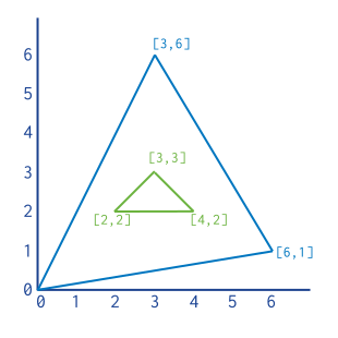
The following example stores a GeoJSON Polygon with an exterior
ring and no interior rings (or holes). Note the first and last
coordinate pair with the [ 0 , 0 ] coordinate:
For Polygons with multiple rings:
- The first described ring must be the exterior ring.
- The exterior ring cannot self-intersect.
- Any interior ring must be entirely contained by the outer ring.
- Interior rings cannot intersect or overlap each other. Interior rings can share an edge.
The following document represents a polygon with an interior ring as GeoJSON: